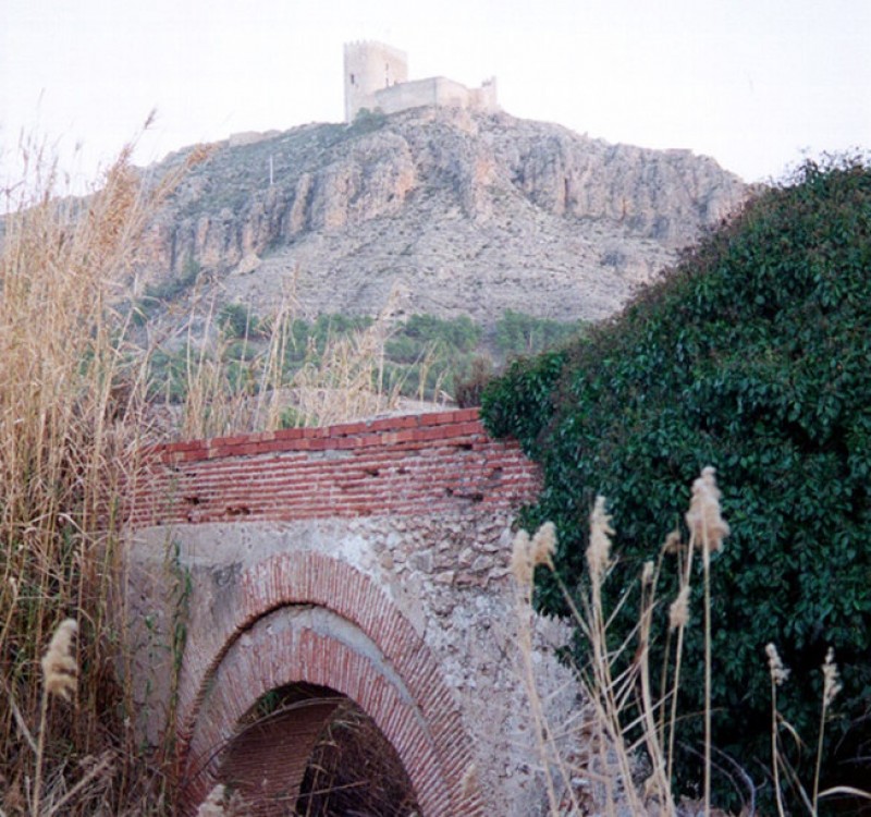
Walking in Sierra de La Pedrera in Jumilla
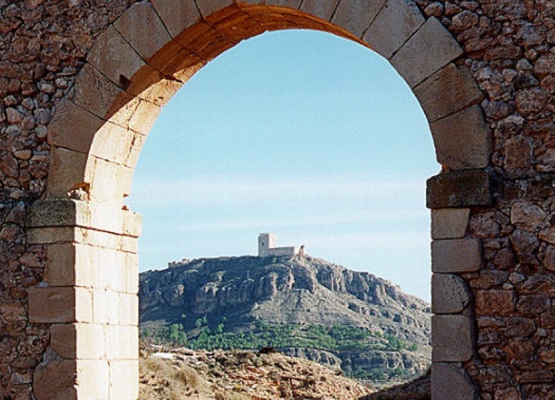
Caves with a story to tell and other sights which illustrate history and pre-history
The Sierra de la Pedrera may reach no higher than 765 metres above sea level, but the area is covered in esparto glass and aromatic plants and is home to historic and prehistoric remains.
In one rock shelter there is a series of schematic rock art paintings which are part of the World Heritage Site declared by UNESCO, dating from between the Stone Age and the Bronze Age, and other features include the fossilized footsteps site at Hoya de la Sima, the cartwheel tracks on the old road between Jumilla and Ontur and the historic quarry of the Puntal de la Librería, which was in use during the 15th and 16th centuries.
There is also a site of petroglyphs, small rounded holes in the rock which have been speculatively linked to ancient rituals, route markers or maps, or even maps of the stars.
A convenient starting point for a walk in Sierra de la Pedrera is kilometre 15.5 on the MU-403 road which leads north-east out of Jumilla towards Ontur in the province of Albacete: at this point the “Camino de La Piedad” is signposted.
Among the points of interest are the following:
The historic quarry of Santiago
Now abandoned, the quarry was used during the 15th and 16th centuries to extract stone which was used to build, among other things, the Iglesia de Santiago in Jumilla.
Rock art in La Pedrera
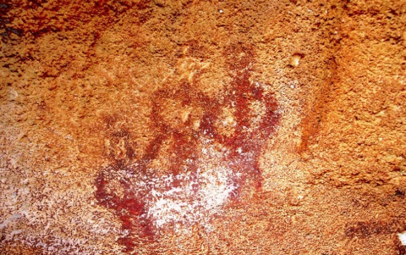
Part of the World Heritage Site of Rock Art of the Mediterranean in the Iberian Peninsula, the paintings concerned are alongside the Camino Histórico de Ontur in a small south-facing shelter, and were discovered as recently as 1998. They belong to the Schematic genre which was in use from the 4th to the 2nd millennium BC (between the Late Stone Age and the Bronze Age), and include depictions of goats, human figures and other designs.
The Camino Histórico de Ontur
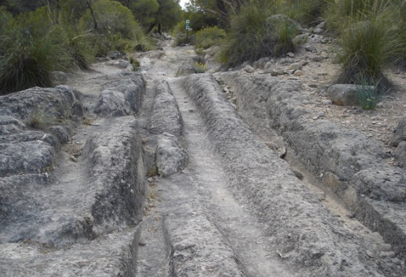
This old cart road crosses the Sierra de la Pedrera and features various ruts which were cut into the sandstone and deepened by the wheels of the carts laden with goods which travelled along it. The cargoes transported along the route included esparto grass and stone from the quarries in the mountains, and it was in use from the 15th to the 19th century.
The carvings and petroglyphs of La Pedrera
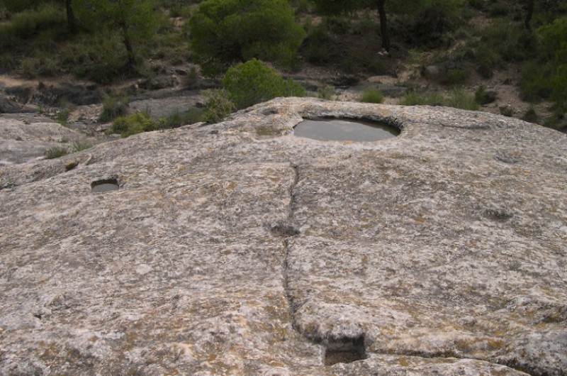
Despite some speculation over the origin and purpose of these rounded holes in the rock next to the Camino Histórico de Ontur, they are included in the World Heritage Site as having been created by Man in the 2nd millennium BC, when it is believed that they were used to collect water, possibly for use in rituals.
Other points of interest along the old Jumilla-Hellín road include the following:
The aqueduct of Miraflores
The structure dates originally from the period of Roman rule in the Iberian Peninsula and is located in the Huerto del Habar, crossing the Rambla de las Salinas just 800 metres from the built-up area of the town of Jumilla.
The aqueduct of El Pontón
A little further out of Jumilla, at kilometre 1.4 on the Jumilla-Hellín road, this structure dates from the 17th century.
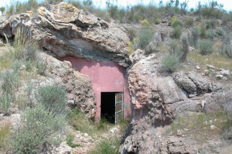
The fossil site of Hoya de la Sima
Another World Heritage Site, Hoya de la Sima is reached along a path which starts at kilometre 9.8 on the MU-403. Discovered in 1997, it contains the fossilized footprints of vertebrates which lived between 5.6 and 7 million years ago, and to date is the only site showing Ventian mammals during the Miocene.
Formerly occupied by a lake, the area features prints made by three-toed horses, medium-sized antelopes, sabre-toothed tigers and bears, and these are now protected by a roof: to visit, contact the Ethnographic Museum of Jumilla on 968 780740.
The mines of La Celia
These abandoned mines, which can be reached from the RM-428 road between Jumilla and Hellín, are of geological interest due to the presence of an exceptional seam of apatite minerals in volcanic rocks which were formed between 1.8 and 5 million years ago. There are the remains of volcanic plugs which have been eroded nearby, leaving mounds of lava and lapilli.
The area was mined for apatite which was then used in phosphate fertilizers in the early 20th century, while the hard jumillite volcanic rock was used in road-building and for laying railway tracks. The rocks extracted were transported by train to Minateda, just south of Hellín in the province of Albacete.
Jumillite volcanic rock (named so by Ossan in 1906) is to be found in much of this area but only exists in the south-east of Spain, and is characterized by the presence of fillers such as apatite and hematite as well as around 20 others. Apatite itself, on the other hand, is a phosphate which is crystallized in hexagons and ends in bi-pyramids, and is normally a greenish yellow in colour.
Fossilized footprints in Sierra de las Cabras
The site, which has been fenced off for protection, is reached by taking the RM-428 road to kilometre 6.3 and then turning off to reach the car park 600 metres away. Visits should be arranged with either the Museo de Ciencias de la Naturaleza or the Tourist Office, and this allows visitors to access the site in the hillside of Sierra de las Cabras which was discovered in 2007 by geologist Emiliano Herrero.
Between 5.4 and 5.1 million years ago this area was part of another vast lake, where the fossilized marks made by plant roots can now be observed alongside the footprints of animals which came to drink at the shore. These include rhinoceros, small three-toed horses, boar and marshbuck, all of them preyed upon by bears and sabre-toothed tigers.
For more information about visiting Jumilla, including what's on, local news and all of the bodegas on the Jumilla wine route, visit the home page of Jumilla Today.
 CABALGATA JUMILLACLICK HERE!
 WELCOME TO JUMILLA. WHAT'S ONCLICK HERE!
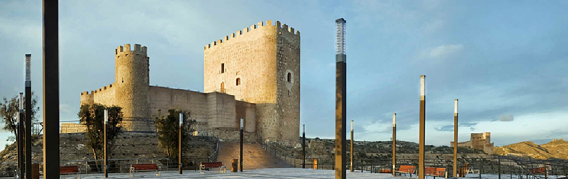 JUMILLA WHAT TO SEE.CLICK HERE!
 JUMILLA WINE ROUTE.CLICK HERE!
 JUMILLA GASTRONOMY.CLICK HERE!
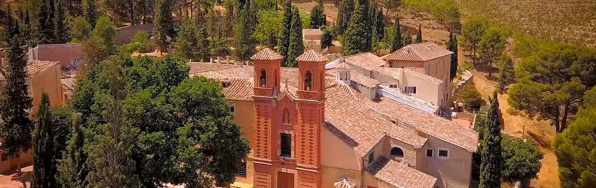 JUMILLA PLACES TO VISIT.CLICK HERE!